VHR satellite vs. aerial flyover: which gets you a damage boundary faster?
Every adjuster who's worked a hail swath or a flood event has run the same math: charter a plane, or wait on a satellite pass. Which one puts a boundary in the claim file faster depends on how many parcels got hit and how fast the event is moving.
What GSD actually means for your claim
GSD, ground sample distance, is just the size of one pixel on the ground. A 0.5 m GSD image means each pixel covers roughly a 50 cm by 50 cm patch of field. That's tight enough to separate a lodged strip from a healthy one, or to pick out the ragged edge of a hail swath against the standing crop around it. Coarser imagery, the kind you get from free public satellite sources, runs 10 m or worse per pixel. At that scale a damage boundary turns into a smear across several acres, something you end up redrawing by eye once you're in the truck.
The value of 0.5 m imagery for crop insurance work is a boundary that holds up when you overlay it on the insured parcel, one you don't have to explain away on the claim file.
Aerial flyover vs satellite: the real tradeoff
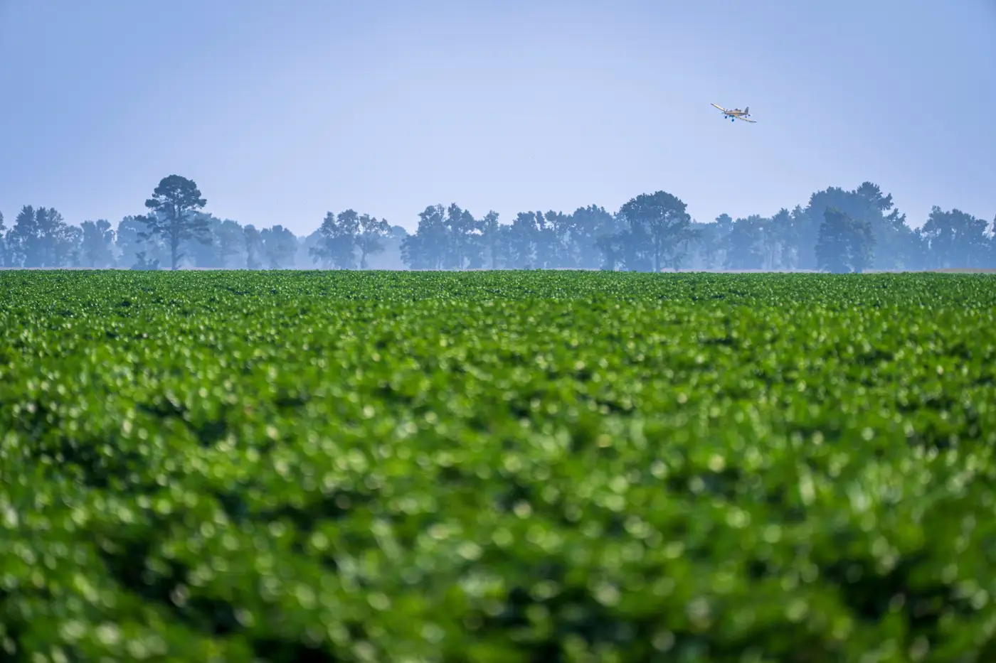
An aerial flyover wins on timing when you can get a plane up same-day and the weather cooperates. You choose the flight window, you choose the altitude, and you get RGB imagery tuned to exactly the field you're grading. The costs are the obvious ones: booking the aircraft, clearing airspace if there's a TFR near the event, and covering ground when a hailstorm touched down across a dozen parcels spread over three counties. One plane, one pass, one parcel at a time.
VHR satellite imagery flips that math. A single tasking can cover a whole swath, multiple insured parcels at once, without anyone leaving the office. The limits are different: you're waiting on an event-driven pass, which means cloud cover or a bad look angle can push your first clean image back a day or two after the hail or flood date. For a flood or a frost event that unfolds over days rather than hours, that lag usually doesn't matter. For a fast-moving hail cell where the adjuster wants to roll before the grower starts harvest-salvage, it can.
Resolution is the other half of the comparison. VHR satellite platforms now shoot at or near that same 0.5 m class, with RGB and NIR bands together, so you're not trading pixel size for coverage the way you would have five years ago. NIR matters here specifically because chlorophyll stress from lodging, flooding, or frost often shows up in the near-infrared band before it's obvious to the eye in RGB. A boundary drawn from RGB and NIR together tends to hold tighter than one drawn from color alone.
The real comparison now runs on timing versus footprint, not resolution versus coverage. A flyover gets you airborne on your schedule over one site. A satellite tasking gets you a pass over every insured parcel touched by the event, on the imagery provider's schedule, at comparable GSD.
Where this leaves the field walk
None of this replaces the walk. A delineated damage boundary and a severity grade tell you where to point the truck and what you're likely looking at before you get there, but the adjuster still verifies plant stand, counts, and settles the claim on the ground. What the imagery changes is the order of operations: you start the walk already knowing the shape of the loss instead of discovering it by driving the section lines.
That's the gap Crop Loss Adjust is built to close: give us the parcel boundary and the event date, and you get a damage boundary with a severity grade back from VHR imagery before you've finished scheduling the field walk.
If you've got a hail, flood, lodging, or frost claim sitting on your desk right now, that's exactly the first pass worth running before you load the truck.